













Rare Old Map of Cosby, Tennessee by USGS, 1912: Mt. Guyot, Great Smoky Mountains & Pigeon River
Restored in our workshop from the original 1929 map and printed to museum-grade archival standards. Full description
The Collector’s Offer
Choose two eligible works and receive 25% off both. You can mix and match both maps and art.
No code is required. The offer is applied automatically.
Full terms and conditions
The Collector’s Offer applies to eligible works in standard made-to-order configurations. Bespoke sizes, personalised designs and commissioned work are excluded. Products with “personalised” or “custom” in their name are generally excluded.
The offer is administered as two separate automatic discounts: one for smaller formats and one for larger formats. To qualify, you must purchase two eligible works within the same format group. Maps and art prints may be mixed and matched within each group.
For example, two eligible A4 or 8 × 10 in prints qualify for 25% off both. One smaller-format print and one larger-format work do not qualify together, as items from different format groups cannot be combined to meet the two-item requirement.
No discount code is required. Any qualifying discount is applied automatically in your basket and at checkout.
The Collector’s Offer
Choose two eligible works and receive 25% off both. You can mix and match both maps and art.
No code is required. The offer is applied automatically.
Full terms and conditions
The Collector’s Offer applies to eligible works in standard made-to-order configurations. Bespoke sizes, personalised designs and commissioned work are excluded. Products with “personalised” or “custom” in their name are generally excluded.
The offer is administered as two separate automatic discounts: one for smaller formats and one for larger formats. To qualify, you must purchase two eligible works within the same format group. Maps and art prints may be mixed and matched within each group.
For example, two eligible A4 or 8 × 10 in prints qualify for 25% off both. One smaller-format print and one larger-format work do not qualify together, as items from different format groups cannot be combined to meet the two-item requirement.
No discount code is required. Any qualifying discount is applied automatically in your basket and at checkout.
 Restored in London • Printed and framed in the USA

Restored from the original 1929 map and printed to museum-grade archival standards. Full description
Choose your size
Choose your finish


(More info)
Gift message & custom finish

If you want to add a gift message, or a finish (jigsaw, aluminium board, etc.) that is not available here, please request it in the "order note" when you check out.
Every order is custom made, so if you need the size adjusted slightly, or printed on an unusual material, just let us know. We've done thousands of custom orders over the years, so there's (almost) nothing we can't manage.
You can also contact us before you order, if you prefer!
- Made in the USA for fast, safe delivery
- Arrives perfect - or we replace it
-
Christmas delivery & gifting Christmas delivery & gifting
Beat the Christmas rush—order early.
Delivery options
Enjoy free standard delivery to anywhere in the world. Free delivery usually arrives in 3 business days. Express or and next-day options are available at the checkout.
Personalised pieces need time for design and proof approval before printing. More delivery info.
Send it straight to them
Simply enter the recipient’s delivery address at checkout. Add a gift message in the order notes and we’ll print it on a branded card. We don’t include prices in the parcel.
Time to choose with confidence
Standard orders can be returned or exchanged within 90 days of delivery. Personalised and custom-made pieces are generally excluded from change-of-mind returns. See our returns policy.
Arrives perfect—or we replace it
If your order arrives damaged, send us a few photos and we’ll arrange a replacement free of charge.
Have a question about your gift? Contact the workshop.
- Need help ordering?
Own a piece of history
8,000+ five-star reviews


Published in 1929 from survey work completed in 1912, the US Geological Survey’s “Mt Guyot” captures a dramatic portion of the southern...
Continue readingPublished in 1929 from survey work completed in 1912, the US Geological Survey’s “Mt Guyot” captures a dramatic portion of the southern Appalachians at a pivotal moment, before the Great Smoky Mountains were fully transformed into one of America’s most celebrated national parks. Centered on the high country around Mt. Guyot and extending toward Cosby, Tennessee, the map presents a landscape of steep ridges, wooded coves, river valleys, and remote mountain settlements. Its original title, “Mt Guyot,” evokes one of the great summits of the Smokies, a peak named for Swiss-American geographer Arnold Henry Guyot, whose studies helped define Appalachian mountain science. The map’s 1:125,000 scale gives both regional breadth and topographic precision, revealing the terrain as a complex, living system of elevation, drainage, and human passage.
The US Geological Survey brought a distinctly scientific elegance to maps of this era, and this sheet is a fine example of its disciplined topographic language. Contour lines march across the surface in close, intricate patterns, tightening around summits and ridgelines, then relaxing into valleys and stream corridors. Subtle color shading adds legibility and depth, helping the eye understand the rise and fall of the Smoky Mountains with unusual immediacy. Rather than presenting the landscape as decorative scenery, the map translates it into measured form: gradients, watersheds, routes, settlements, and boundaries. This was cartography as national infrastructure, created for surveyors, engineers, foresters, travelers, and scholars, yet today it also reads as a beautifully ordered portrait of one of the most rugged and biodiverse regions in eastern North America.
Cosby appears as an important foothill community on the Tennessee side of the Smokies, set amid a landscape that was still deeply rural in the early twentieth century. Roads and trails thread through the mountains, marking the practical corridors by which people moved between coves, farms, timberlands, and high passes. Nearby places such as Greenbrier and Cataloochee evoke historic mountain communities whose names remain closely tied to Appalachian settlement, logging, and later conservation history. Rivers including the Little River and the Pigeon River structure the map’s geography, carving passages through the mountains and linking remote valleys to broader regional networks. The sheet preserves an image of the Smokies before modern tourism infrastructure became dominant, when access was difficult, settlements were scattered, and the mountains retained a powerful sense of isolation.
Mt. Guyot itself anchors the map in the high interior of the Smokies, a region of long ridges, abrupt slopes, and cloud-nurtured forest. The topographic character shown here is unmistakably Appalachian: folded terrain, branching streams, narrow hollows, and summit chains that create a natural labyrinth. The map also references Cherokee and Indian Reservation lands, reminders that this mountain geography is not merely scenic but deeply historical. Long before federal surveys and park proposals, Cherokee communities knew these valleys, rivers, and passes intimately, and the place names scattered across the map speak to layered histories of Indigenous presence, settler expansion, extraction, and preservation. In this sense, the sheet is more than a measurement of altitude; it is a record of contested and cherished mountain ground.
Viewed in historical context, “Mt Guyot” stands at the threshold between old Appalachia and the conservation era that would reshape the Smokies. The survey date of 1912 predates the formal establishment of Great Smoky Mountains National Park, while the 1929 imprint belongs to the years when preservation campaigns were gaining momentum. The terrain shown—Cosby, Greenbrier, Cataloochee, Cherokee lands, high ridges, river systems, and unnamed peaks—would soon acquire new national significance as part of a protected landscape celebrated for its forests, wildlife, misty summits, and extraordinary biodiversity. This map therefore captures not only a place, but a moment before transition: a scientifically rendered mountain world on the eve of becoming an American icon. Its contours preserve the drama of the Smokies with quiet authority and enduring beauty.
Cities, towns and places on this map
- Cosby, Tennessee
- Mt. Guyot
- Greenbrier
- Indian Reservation
- Little River
- Pigeon River
- Cataloochee
- Cherokee
- Smoky Mountains
- Smoky Mountain National Park
- Various unnamed trails and roads
- Several unnamed peaks and ridges
Historical context & cartographic details
- The map is titled Mt Guyot.
- Produced by the US Geological Survey (USGS).
- Historical 1:125,000 topographical map showing Cosby, Tennessee and the surrounding mountainous area.
- Created in 1912 and published with a 1929 imprint.
- Shows terrain associated with Mt. Guyot and the Great Smoky Mountains region.
- Uses contour lines to depict elevation changes and mountainous terrain.
- Includes color shading to add depth to the landscape presentation.
- Illustrates varied Appalachian topography, including mountains, valleys, and river systems.
- Reflects early 20th-century geographic understanding of the area.
- The region has since seen changes related to infrastructure, conservation, and natural processes.
Looking for a particular place? Review the detailed images to confirm that the town, landmark or feature you have in mind appears on the map. If you are unsure, ask our workshop to check before you order.
Detailed maps are especially rewarding at larger sizes, where names, boundaries and decorative features have more room to be appreciated. Use the close-up preview and size guide to choose the right scale for your wall.
This map looks amazing at sizes all the way up to 50in (125cm). If you are looking for a larger map, please get in touch.
The model in the listing images is holding the 16x20in (40x50cm) version of this map.
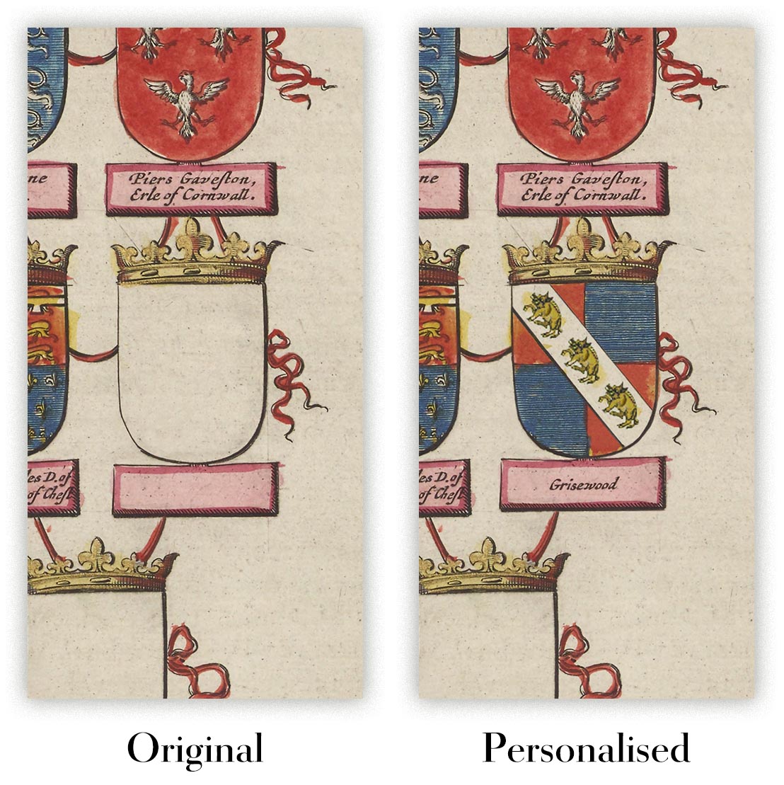
Where personalisation is available, you can add a short title or dedication, mark one meaningful place, or request one considered visual detail. See personalised map examples.
Every piece is printed to museum-grade archival standards using fade-resistant pigment inks on acid-free matte paper. Choose an unframed map print, framed map or canvas using the finish options above. Framed maps use crystal-clear optical acrylic and arrive ready to hang.
With its rich detail and strong sense of place, this map makes a considered gift for a new home, anniversary, retirement or anyone with a personal connection to the area shown. Still deciding? Explore our collection of rare old and vintage maps to discover another place, period or style.
This map is also available as a float framed canvas, sometimes known as a shadow gap framed canvas or canvas floater. The map is printed on artist's cotton canvas and then stretched over a handmade box frame. We then "float" the canvas inside a wooden frame, which is available in a range of colours (black, dark brown, oak, antique gold and white). This is a wonderful way to present a map without glazing in front. See some examples of float framed canvas maps and explore the differences between my different finishes.
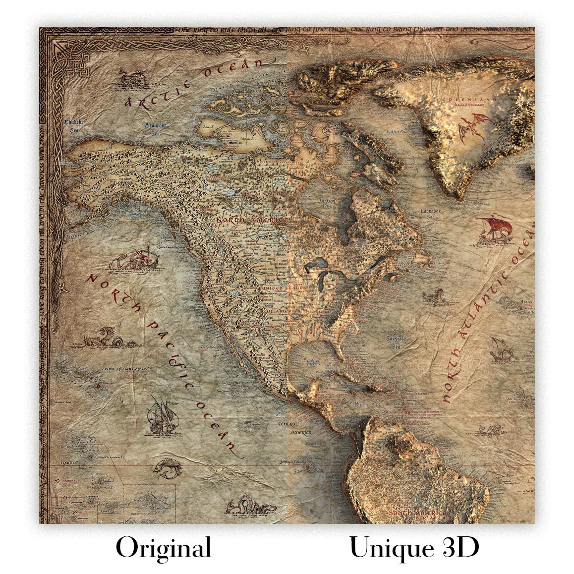
For something truly unique, this map is also available in "Unique 3D", our trademarked process that dramatically transforms the map so that it has a wonderful sense of depth. We combine the original map with detailed topography and elevation data, so that mountains and the terrain really "pop". For more info and examples of 3D maps, check my Unique 3D page.
Published in 1929 from survey work completed in 1912, the US Geological Survey’s “Mt Guyot” captures a dramatic portion of the southern Appalachians at a pivotal moment, before the Great Smoky Mountains were fully transformed into one of America’s most celebrated national parks. Centered on the high country around Mt. Guyot and extending toward Cosby, Tennessee, the map presents a landscape of steep ridges, wooded coves, river valleys, and remote mountain settlements. Its original title, “Mt Guyot,” evokes one of the great summits of the Smokies, a peak named for Swiss-American geographer Arnold Henry Guyot, whose studies helped define Appalachian mountain science. The map’s 1:125,000 scale gives both regional breadth and topographic precision, revealing the terrain as a complex, living system of elevation, drainage, and human passage.
The US Geological Survey brought a distinctly scientific elegance to maps of this era, and this sheet is a fine example of its disciplined topographic language. Contour lines march across the surface in close, intricate patterns, tightening around summits and ridgelines, then relaxing into valleys and stream corridors. Subtle color shading adds legibility and depth, helping the eye understand the rise and fall of the Smoky Mountains with unusual immediacy. Rather than presenting the landscape as decorative scenery, the map translates it into measured form: gradients, watersheds, routes, settlements, and boundaries. This was cartography as national infrastructure, created for surveyors, engineers, foresters, travelers, and scholars, yet today it also reads as a beautifully ordered portrait of one of the most rugged and biodiverse regions in eastern North America.
Cosby appears as an important foothill community on the Tennessee side of the Smokies, set amid a landscape that was still deeply rural in the early twentieth century. Roads and trails thread through the mountains, marking the practical corridors by which people moved between coves, farms, timberlands, and high passes. Nearby places such as Greenbrier and Cataloochee evoke historic mountain communities whose names remain closely tied to Appalachian settlement, logging, and later conservation history. Rivers including the Little River and the Pigeon River structure the map’s geography, carving passages through the mountains and linking remote valleys to broader regional networks. The sheet preserves an image of the Smokies before modern tourism infrastructure became dominant, when access was difficult, settlements were scattered, and the mountains retained a powerful sense of isolation.
Mt. Guyot itself anchors the map in the high interior of the Smokies, a region of long ridges, abrupt slopes, and cloud-nurtured forest. The topographic character shown here is unmistakably Appalachian: folded terrain, branching streams, narrow hollows, and summit chains that create a natural labyrinth. The map also references Cherokee and Indian Reservation lands, reminders that this mountain geography is not merely scenic but deeply historical. Long before federal surveys and park proposals, Cherokee communities knew these valleys, rivers, and passes intimately, and the place names scattered across the map speak to layered histories of Indigenous presence, settler expansion, extraction, and preservation. In this sense, the sheet is more than a measurement of altitude; it is a record of contested and cherished mountain ground.
Viewed in historical context, “Mt Guyot” stands at the threshold between old Appalachia and the conservation era that would reshape the Smokies. The survey date of 1912 predates the formal establishment of Great Smoky Mountains National Park, while the 1929 imprint belongs to the years when preservation campaigns were gaining momentum. The terrain shown—Cosby, Greenbrier, Cataloochee, Cherokee lands, high ridges, river systems, and unnamed peaks—would soon acquire new national significance as part of a protected landscape celebrated for its forests, wildlife, misty summits, and extraordinary biodiversity. This map therefore captures not only a place, but a moment before transition: a scientifically rendered mountain world on the eve of becoming an American icon. Its contours preserve the drama of the Smokies with quiet authority and enduring beauty.
Cities, towns and places on this map
- Cosby, Tennessee
- Mt. Guyot
- Greenbrier
- Indian Reservation
- Little River
- Pigeon River
- Cataloochee
- Cherokee
- Smoky Mountains
- Smoky Mountain National Park
- Various unnamed trails and roads
- Several unnamed peaks and ridges
Historical context & cartographic details
- The map is titled Mt Guyot.
- Produced by the US Geological Survey (USGS).
- Historical 1:125,000 topographical map showing Cosby, Tennessee and the surrounding mountainous area.
- Created in 1912 and published with a 1929 imprint.
- Shows terrain associated with Mt. Guyot and the Great Smoky Mountains region.
- Uses contour lines to depict elevation changes and mountainous terrain.
- Includes color shading to add depth to the landscape presentation.
- Illustrates varied Appalachian topography, including mountains, valleys, and river systems.
- Reflects early 20th-century geographic understanding of the area.
- The region has since seen changes related to infrastructure, conservation, and natural processes.
Looking for a particular place? Review the detailed images to confirm that the town, landmark or feature you have in mind appears on the map. If you are unsure, ask our workshop to check before you order.
Detailed maps are especially rewarding at larger sizes, where names, boundaries and decorative features have more room to be appreciated. Use the close-up preview and size guide to choose the right scale for your wall.
This map looks amazing at sizes all the way up to 50in (125cm). If you are looking for a larger map, please get in touch.
The model in the listing images is holding the 16x20in (40x50cm) version of this map.
Where personalisation is available, you can add a short title or dedication, mark one meaningful place, or request one considered visual detail. See personalised map examples.
Every piece is printed to museum-grade archival standards using fade-resistant pigment inks on acid-free matte paper. Choose an unframed map print, framed map or canvas using the finish options above. Framed maps use crystal-clear optical acrylic and arrive ready to hang.
With its rich detail and strong sense of place, this map makes a considered gift for a new home, anniversary, retirement or anyone with a personal connection to the area shown. Still deciding? Explore our collection of rare old and vintage maps to discover another place, period or style.
This map is also available as a float framed canvas, sometimes known as a shadow gap framed canvas or canvas floater. The map is printed on artist's cotton canvas and then stretched over a handmade box frame. We then "float" the canvas inside a wooden frame, which is available in a range of colours (black, dark brown, oak, antique gold and white). This is a wonderful way to present a map without glazing in front. See some examples of float framed canvas maps and explore the differences between my different finishes.
For something truly unique, this map is also available in "Unique 3D", our trademarked process that dramatically transforms the map so that it has a wonderful sense of depth. We combine the original map with detailed topography and elevation data, so that mountains and the terrain really "pop". For more info and examples of 3D maps, check my Unique 3D page.
Many of our maps and art prints are chosen as thoughtful gifts for homes, offices, studies and meaningful places.
Choose a framed option for the easiest ready-to-hang gift, or choose an unframed print if the recipient may prefer to select their own frame.
We make orders locally in 24 countries around the world, so gifts can often be produced close to the recipient. This helps them arrive faster, travel more safely, and avoid customs or import duty surprises.
- We can deliver directly to the recipient
- Framed pieces arrive ready to hang
- Unframed prints are carefully packed in a strong protective tube
- Almost every order is made locally, for faster, safer gifting
- 90-day returns give the recipient time to decide
If you are not sure what to choose, please contact us. We can help you pick the right map, size, finish or delivery option.
Most orders are made locally and delivered in around 2–3 working days, depending on the product, size and destination.
We print and frame maps and artwork in 24 countries around the world, so your order is usually made close to you or your recipient. That means faster delivery, less time in transit, and no customs or import duty surprises.
Personalised and customised pieces usually take an extra 1–2 working days, because we prepare your design and send it to you for approval before printing.
Very large framed orders can take a little longer, as they need extra care in production and delivery.
Every order is carefully packaged: unframed prints are sent in a strong protective tube, while framed pieces are securely packed with protective materials around the frame.
If you need your order by a particular date, please contact us before ordering. We’ll check the best production route and delivery option for your location.
Express delivery is available at checkout for most countries. Next-day delivery is available in the UK, US, Singapore and the UAE.
Your order is covered by our 90-day returns policy and 10-year guarantee.
Our standard frame is a gallery-style black ash hardwood frame, with a simple, modern look. It is approximately 20mm (0.8in) wide. You can also view some lovely customer photos of framed maps and art.
We use super-clear acrylic glazing, also known as Perspex or Acrylite, instead of traditional glass. It is lighter, safer, and has lower reflectivity, giving the artwork a clearer, cleaner appearance.
Six standard frame colours are available at no extra cost: black, dark brown, dark grey, oak, white, and antique gold. Custom framing and mounting/matting is also available for customers looking for something more specific.
Most maps, art prints, and illustrations are also available as a framed canvas. We use matte cotton canvas, stretch it over a sustainably sourced wooden box frame, and then float the piece within a wooden outer frame. The finished result is beautifully presented, with no glazing between you and the artwork.
All frames are supplied ready to hang, with either string or brackets fitted to the back. Very large frames will include heavy-duty hanging plates and/or a mounting baton. If you have any questions, please get in touch.
We can also supply old maps and artwork on canvas, foam board, cotton rag, and other materials.
If you would prefer to frame your map or artwork yourself, please read our size guide before ordering.
We work with interior designers, hospitality businesses, property professionals, offices and corporate buyers on individual pieces and larger coordinated projects.
This map can be adapted for a particular wall, room or project, and our workshop can help coordinate the dimensions, material and framing before production.
- Exact, oversized and made-to-measure dimensions
- Custom framing, mounting and alternative materials
- Coordinated pieces for several rooms or locations
- Map personalisation, to mark important locations or add extra details
- Map and framing guidance from our workshop
- Local production for projects around the world
Every Unique Maps piece begins with an authentic cartographic source or an original design from our London studio.
For our historic maps, we source rare originals from libraries, archives, auction houses and private collections around the world. We carefully restore each map for print—repairing age-related damage, balancing colour and improving clarity while preserving its original detail, texture and character.
Once restored, the map is prepared for your chosen size and finish. Your piece is then printed and, where selected, framed close to its delivery destination.
Our map prints use acid-free 200gsm archival matte paper and fade-resistant pigment inks, creating a rich, non-glossy finish designed to last. Framed maps use crystal-clear optical acrylic and arrive ready to hang.
Canvas, cotton-rag and other specialist presentations are also available. Learn more about our materials and finishes.
Personalising your map
You can add a short title or dedication, mark one meaningful place, or request one considered visual detail. For personalised designs, we send a proof before printing and you can request changes before approval.
For more complex bespoke commissions, contact our design team.
Original or Aged
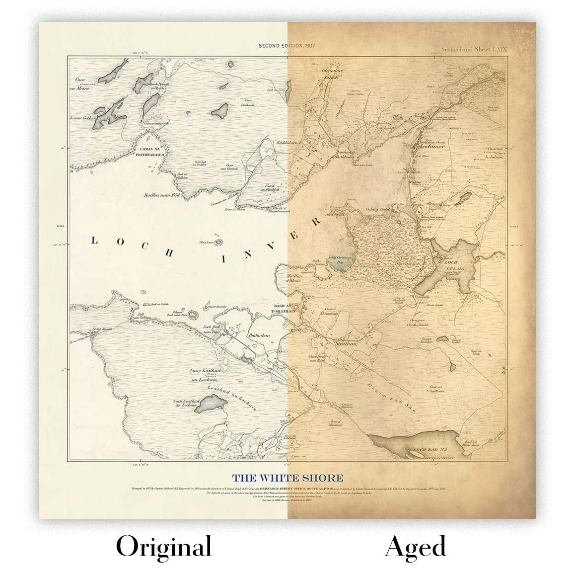
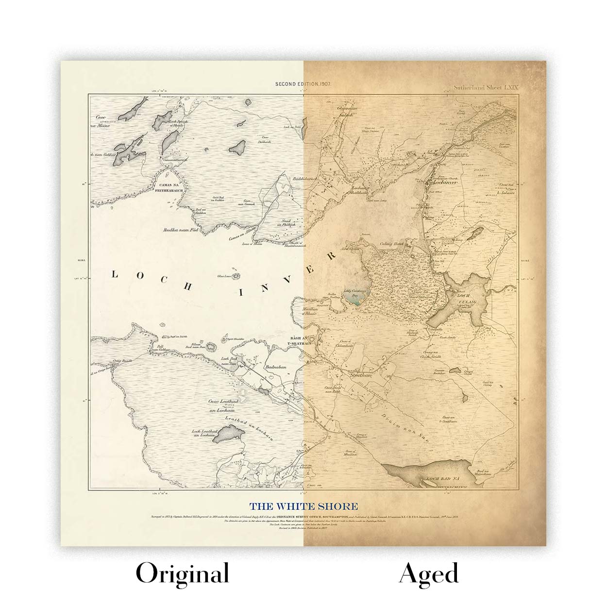
Choose Original for true-to-source colour, or Aged for a warmer, richer antique character created with our specialist ageing process. See examples of our Aged maps.
We’ve been restoring and producing maps and art prints since 1984, and we stand behind every piece.
Every order is covered by our 10-year guarantee and damage-free delivery guarantee. If your piece arrives damaged, we’ll replace or remake it free of charge. If anything else isn’t right, contact our workshop team and we’ll put it right promptly.
See our returns and refund policy for full details.
Or try searching for something!


